
Equipment & Technical Capabilities
i4Geo maintains advanced geospatial, remote sensing, surveying, and environmental monitoring equipment to support research and collaborative projects.
Our team can work with researchers, government, industry, and community partners to design and carry out projects using the appropriate platforms, sensors, instrumentation, and analytical workflows.
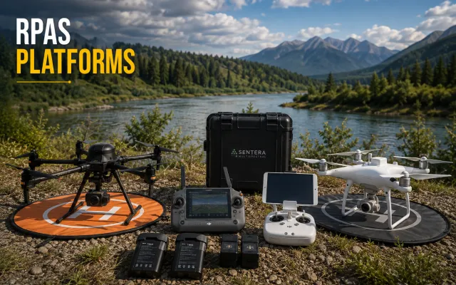
RPAS Platforms
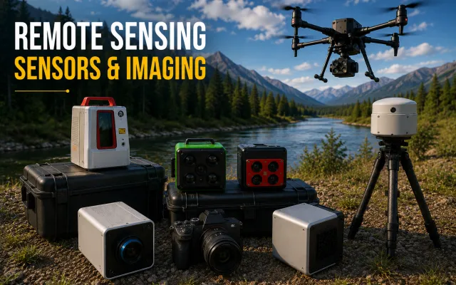
Remote Sensing Sensors & Imaging
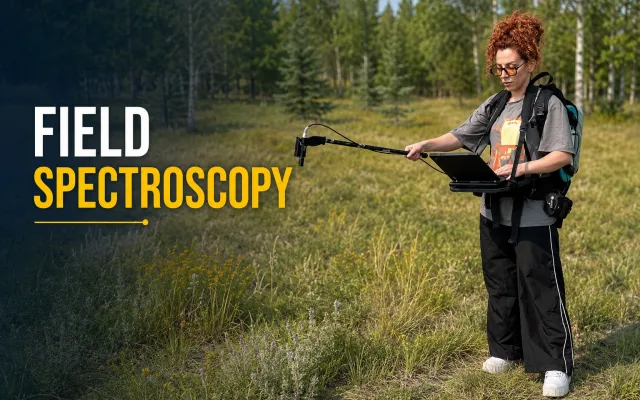
Field Spectroscopy
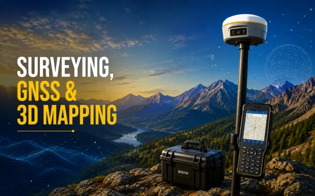
Surveying, GNSS & 3D Mapping
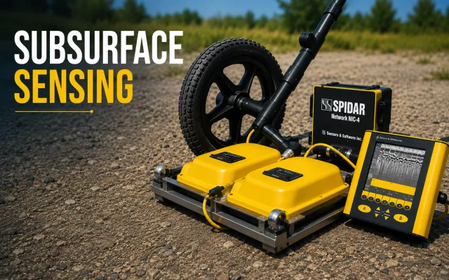
Subsurface Sensing
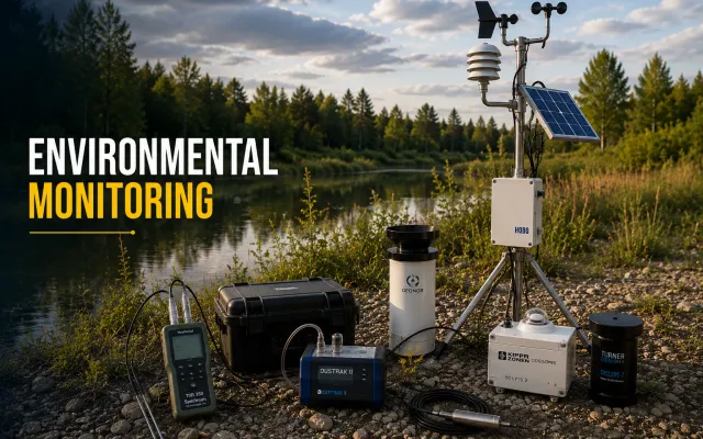
Environmental Monitoring
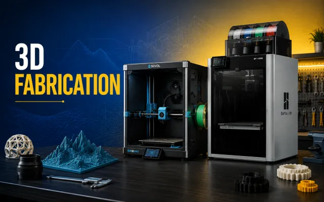
3D Fabrication
Discuss a Project with i4Geo
Contact us to discuss your project objectives, and our team can help determine the appropriate technologies and approach.