Past Events & Highlights
i4Geo regularly hosts and contributes to national and international conferences, workshops, and training events in geospatial science and applications.
EPIC Day 2026 – Exploring Careers in Drone Technology and Geospatial Sciences
i4Geo was proud to participate in EPIC Day 2026, a large-scale career exploration event organized by Career Transitions that brought together approximately 720 high school students from across Southwestern Alberta. The event is designed to help students explore possible industries and career pathways through interactive, hands-on experiences with professionals from agriculture and environment, health care, STEM, trades, and other sectors. Students rotate through career zones where they engage directly with industry representatives and learn about the skills, education, and opportunities associated with a variety of occupations.
Our team introduced students to the rapidly growing field of Remotely Piloted Aircraft Systems (RPAS), commonly known as drones. Students learned how drones are used to collect high-resolution aerial imagery and geospatial data for applications such as environmental monitoring, agriculture, infrastructure inspection, mapping, and scientific research. Through discussions and demonstrations, participants gained insight into drone technology, data collection workflows, career opportunities in the geospatial sector, and the important role that remote sensing plays in understanding and managing our world. EPIC Day provided an excellent opportunity to inspire the next generation of geospatial professionals while showcasing the innovative work being conducted through i4Geo and the University of Lethbridge.


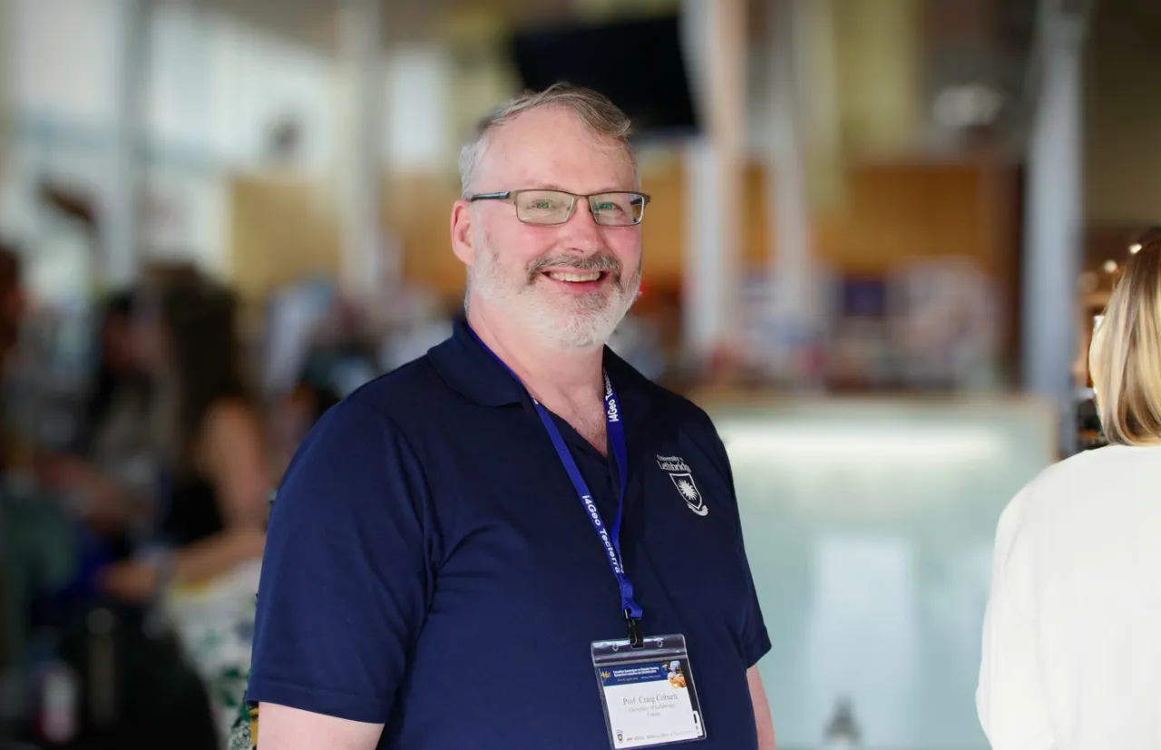
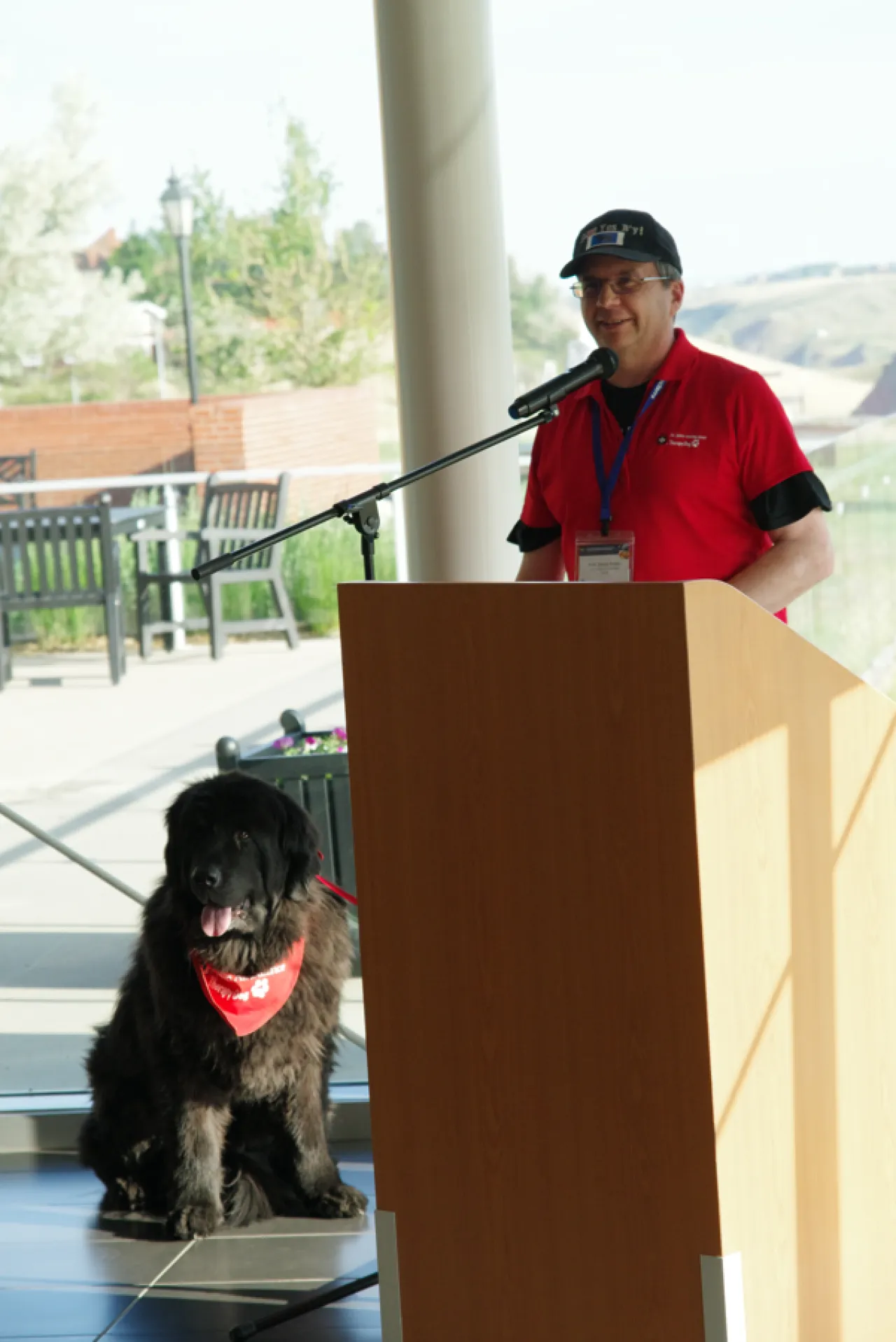
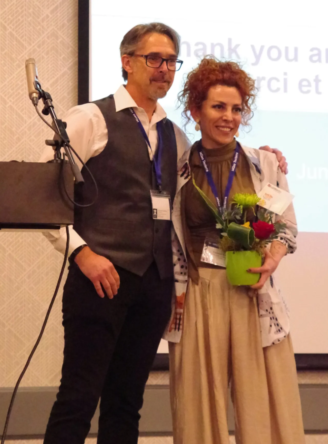
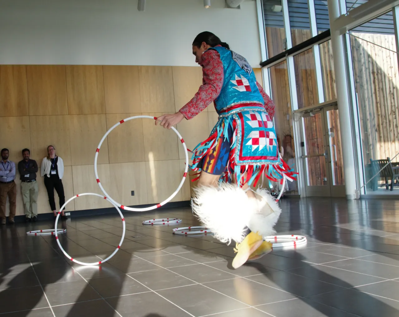
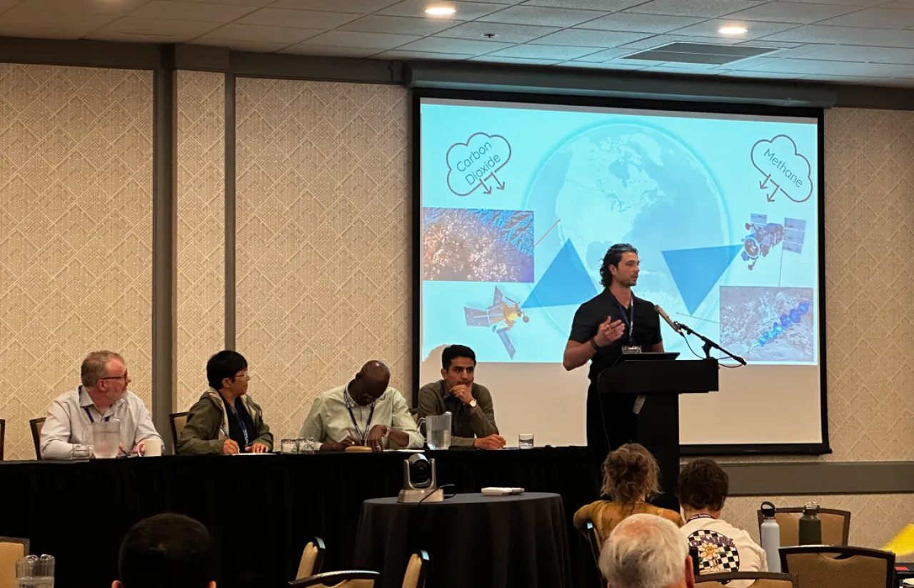
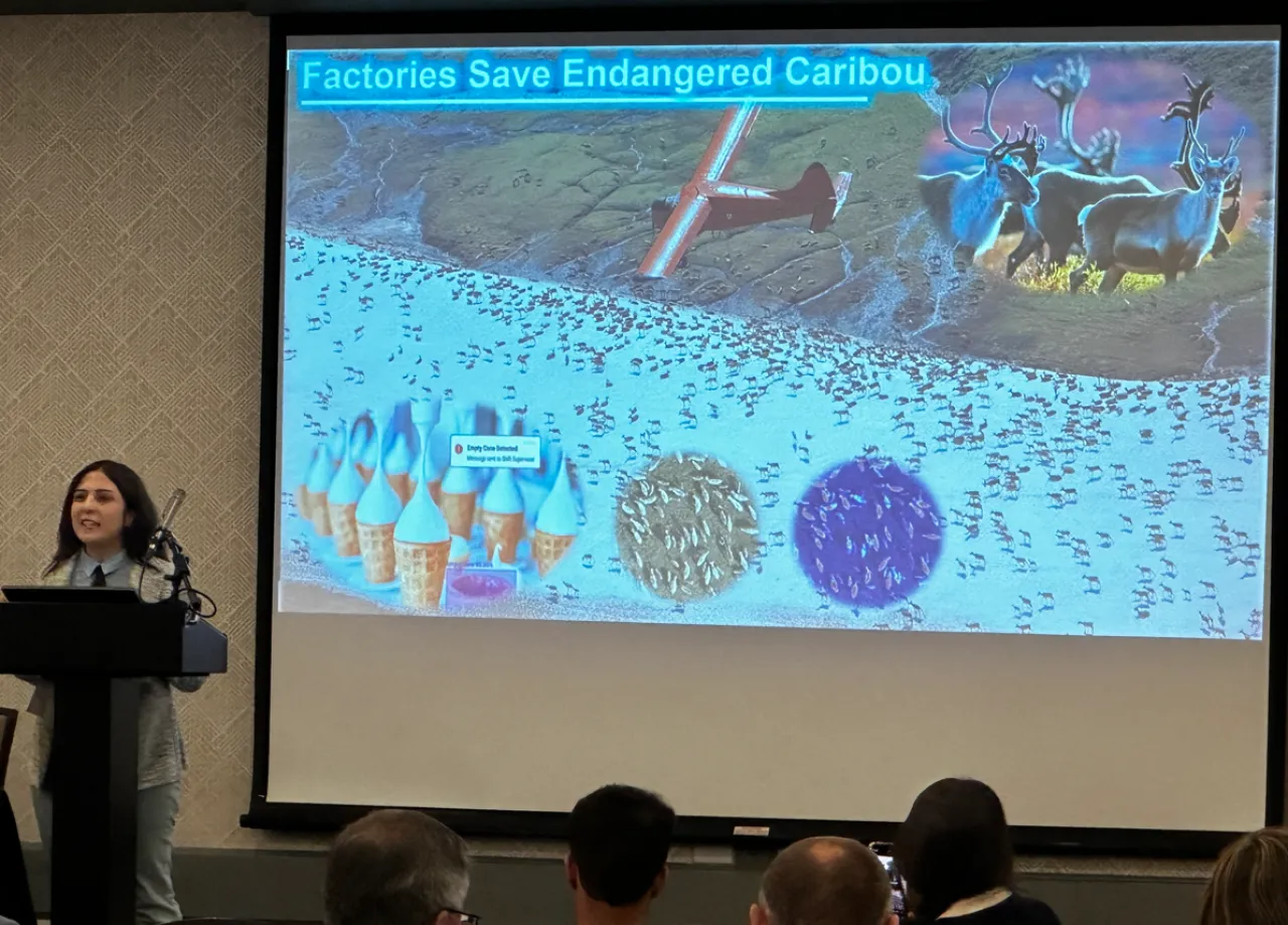
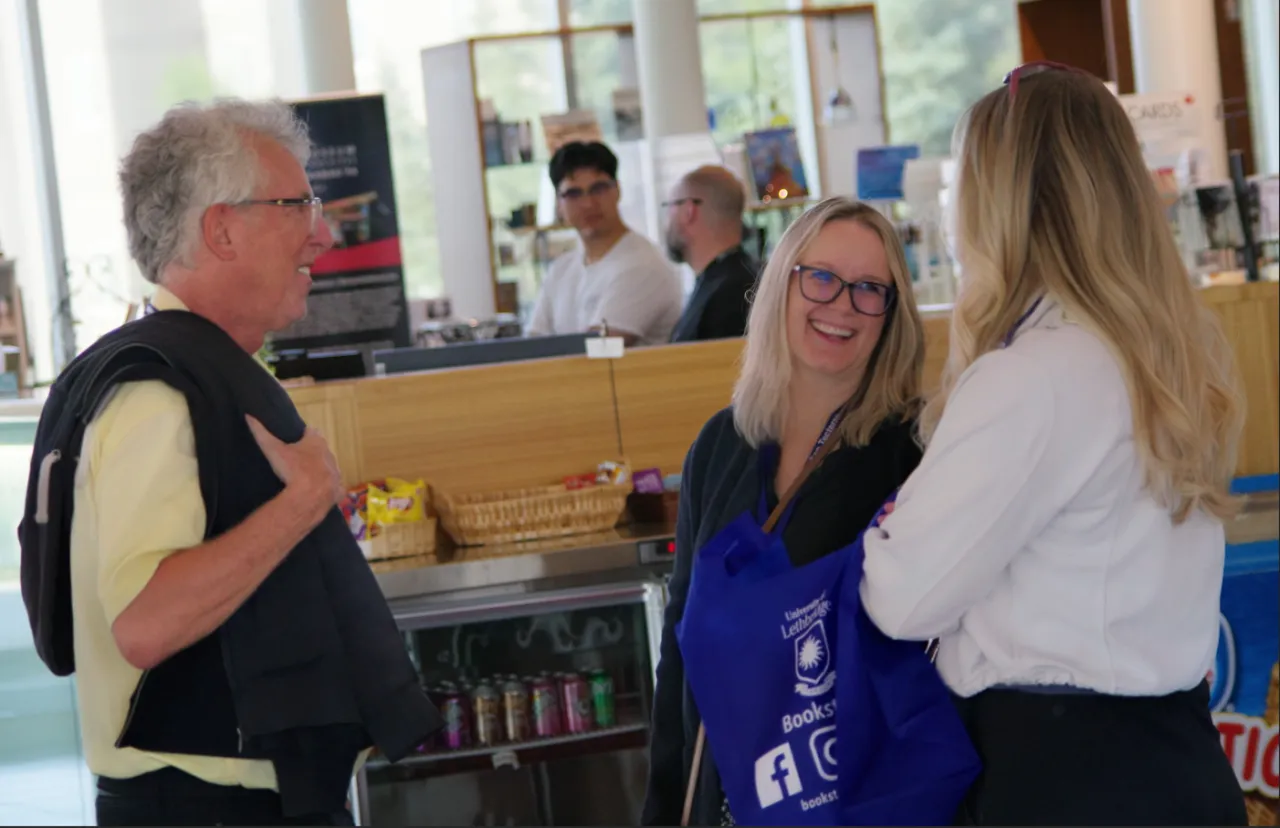
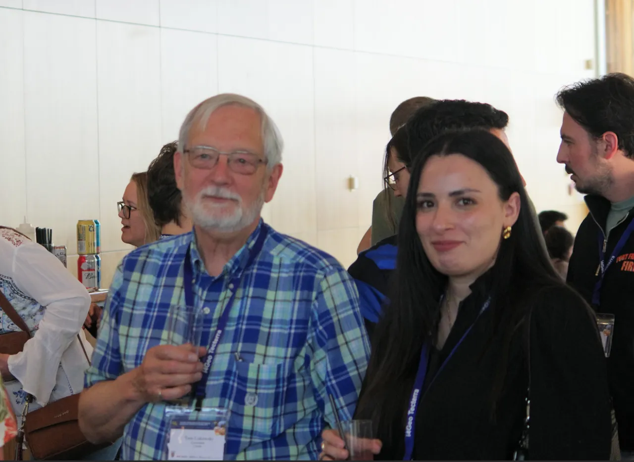
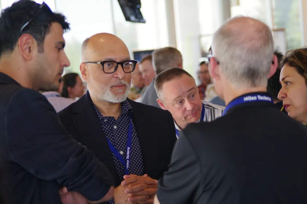
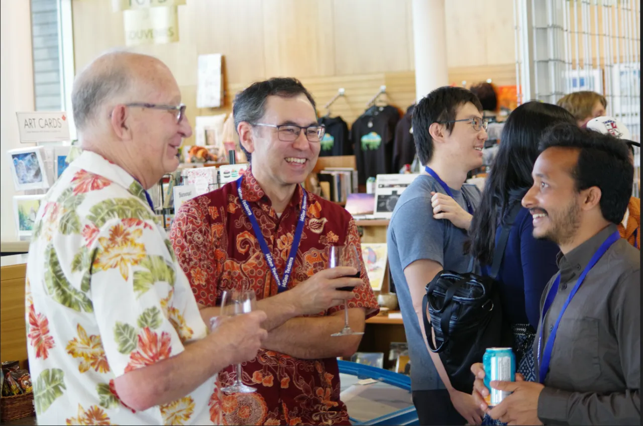
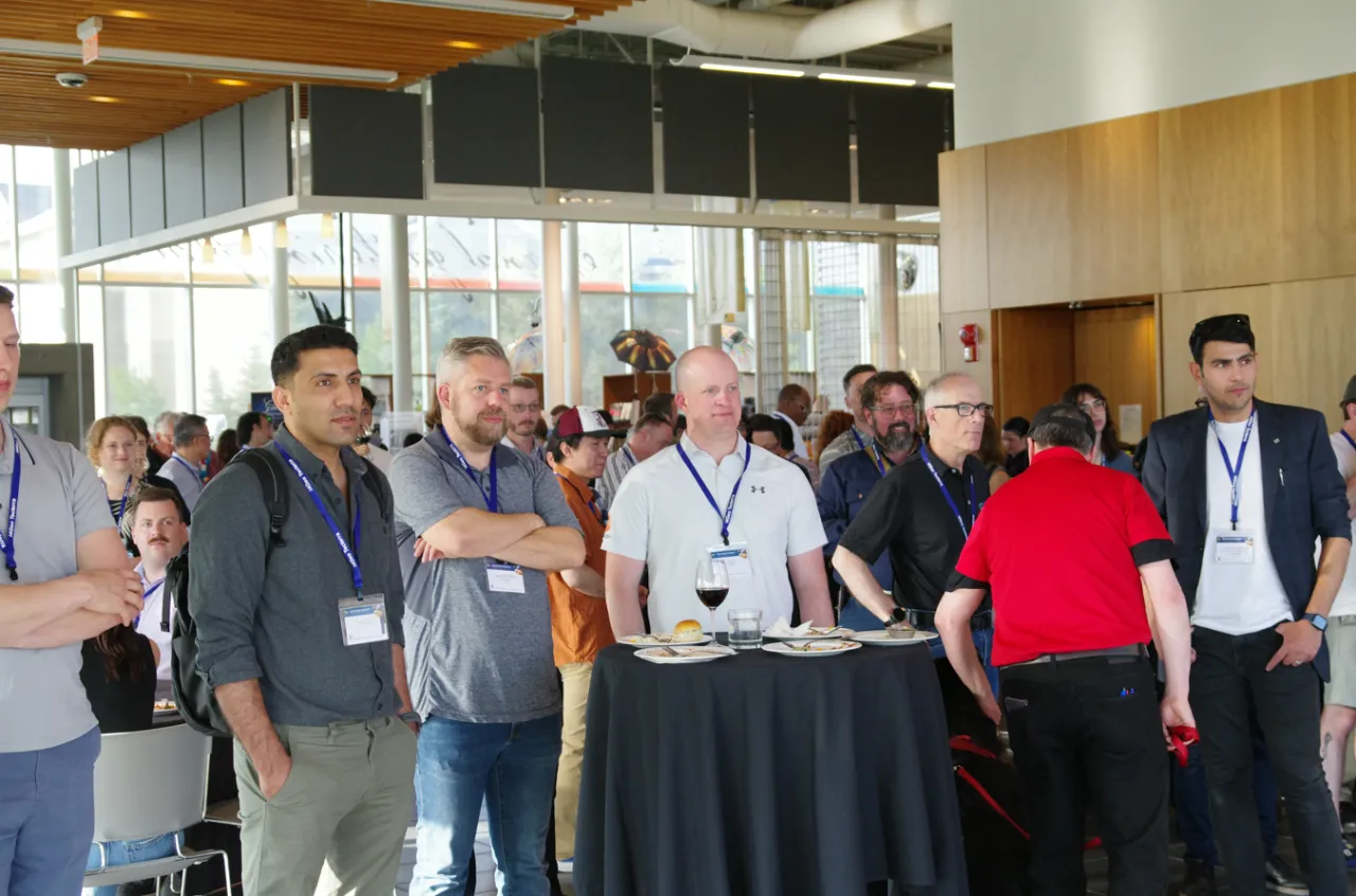
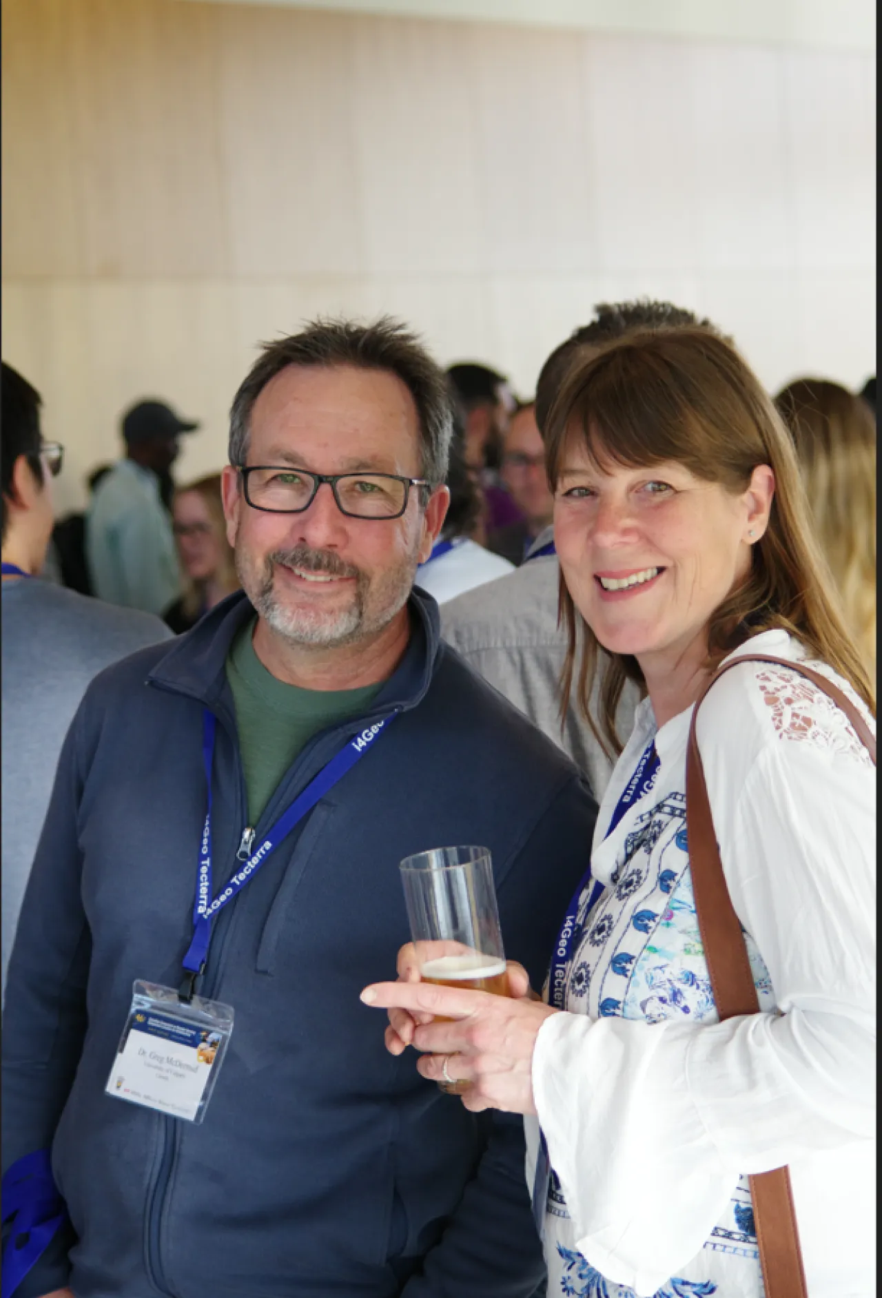
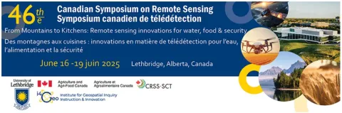
The 46th Canadian Symposium on Remote Sensing (CSRS 2025)
The symposium brought together researchers, practitioners, industry partners, and decision-makers from across Canada and internationally to explore advances in remote sensing science and geospatial applications. Held in Lethbridge, Alberta, the symposium focused on innovative Earth observation approaches supporting water resources, agriculture, food systems, environmental monitoring, and societal resilience. Through technical sessions, workshops, and networking opportunities, CSRS 2025 fostered collaboration, knowledge exchange, and training in cutting-edge geospatial technologies, highlighting the critical role of remote sensing in addressing complex environmental and resource-management challenges.
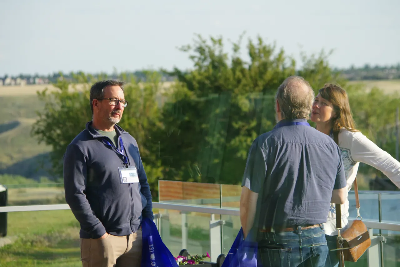
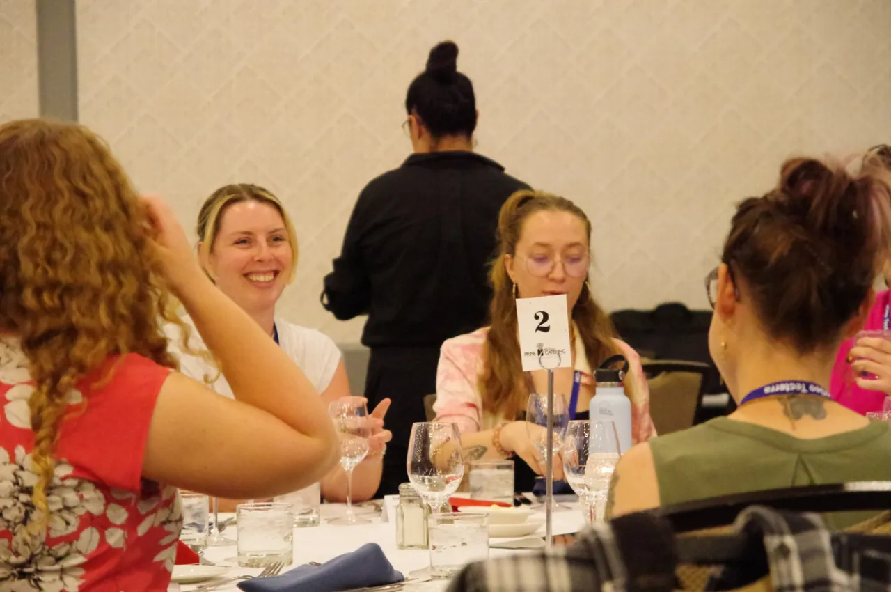
Conference Photo Highlights