
Collaborative Projects
Through collaborative projects, i4Geo provides geospatial expertise, specialized instrumentation, data acquisition, and research support to partners across government, academia, and industry.

Alberta Geological Survey Imaging
i4Geo collected high-resolution geospatial data for the Alberta Geological Survey to support geological mapping and research in Alberta.
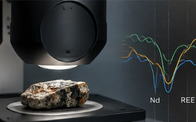
Hyperspectral Spectral Library for Rare Earth Element Mapping
i4Geo supported the Alberta Geological Survey in developing a laboratory hyperspectral spectral library for rare earth element exploration in northeastern Alberta. Using the ASD FieldSpec 3, geological samples were characterized to investigate diagnostic spectral features associated with critical minerals and evaluate how sample preparation influences spectral response.
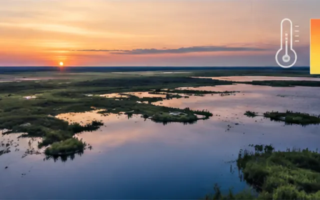
Frank Lake Thermal Survey
i4Geo supported a thermal remote sensing survey of Frank Lake, Alberta, combining five RPAS flights collected throughout the day with coincident Landsat 8 thermal imagery. The dataset enables comparison of fine-scale airborne and satellite thermal observations and is currently supporting collaborative manuscript development and undergraduate research.
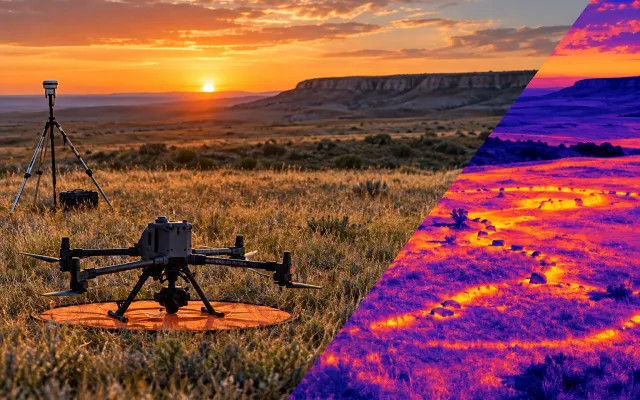
Thermal Imaging for Archaeological Research
i4Geo supported graduate student research at Head-Smashed-In, Alberta, by collecting daytime and dusk thermal imagery to investigate temperature differences between surface stones and surrounding vegetation, supporting the non-invasive identification of potential archaeological features.