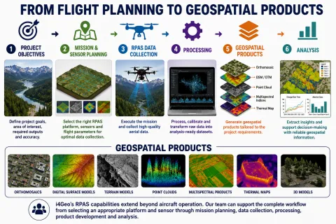
RPAS Platforms
Flexible Aerial Platforms for Mapping, Monitoring & Research
i4Geo operates a diverse fleet of remotely piloted aircraft systems (RPAS) that support geospatial data collection across a range of project scales, environments, and sensor requirements.
From compact systems for rapid field deployment to heavy-lift platforms capable of carrying advanced LiDAR, hyperspectral, multispectral, and thermal sensors, our RPAS capabilities can support research, environmental monitoring, surveying, mapping, infrastructure assessment, and custom aerial data-collection projects.
Our RPAS Fleet
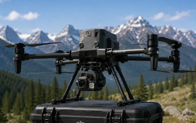
DJI Matrice 400
Heavy-Lift Enterprise RPAS Platform
The Matrice 400 is i4Geo’s flagship enterprise RPAS platform, providing long-endurance flight and substantial payload capacity for advanced aerial mapping, remote sensing, and research missions.
Its ability to carry specialized payloads makes it particularly valuable for projects requiring LiDAR, advanced imaging, or complex multi-sensor data collection.
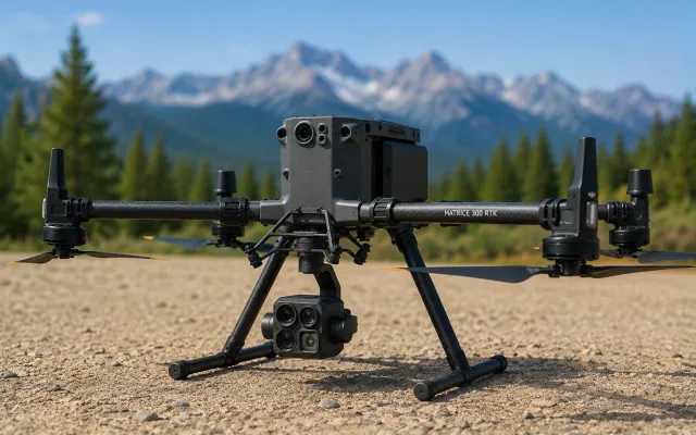
DJI Matrice 300 RTK
Enterprise Mapping & Remote Sensing Platform
The Matrice 300 RTK is a versatile enterprise RPAS platform designed for demanding aerial data-collection missions.
Its RTK positioning and ability to accommodate specialized sensor payloads make it well suited to high-accuracy mapping, environmental surveys, infrastructure assessment, and remote sensing research.
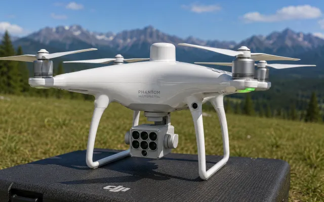
DJI Phantom 4 Multispectral
Integrated Multispectral Mapping Platform
The Phantom 4 Multispectral is a compact RPAS designed specifically for multispectral data collection, integrating RGB and multispectral imaging with RTK positioning in a single aerial platform.
It supports efficient collection of spatially detailed spectral information for vegetation, agricultural, and environmental applications.
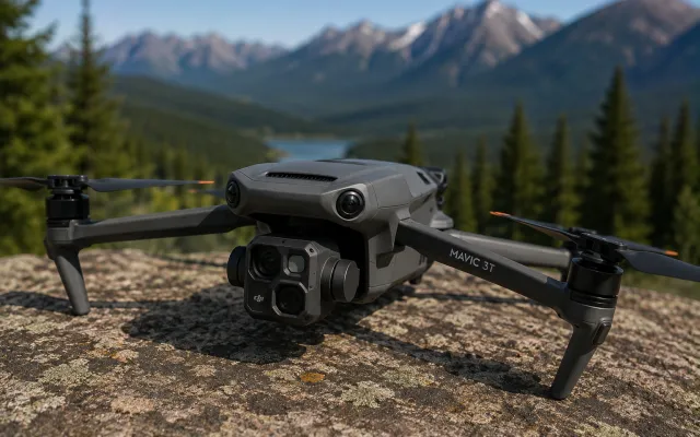
DJI Mavic 3T
Compact Thermal & Visual RPAS
The Mavic 3T provides a highly portable platform for rapid deployment of thermal and visual imaging capabilities in the field.
Its compact form makes it particularly useful for targeted surveys, environmental observation, inspection, reconnaissance, and projects where rapid deployment and operational flexibility are important.
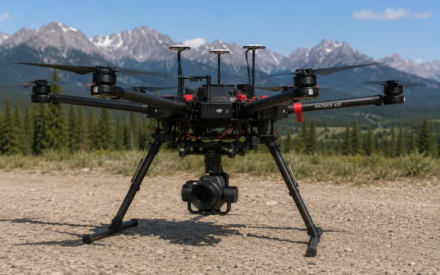
DJI Matrice 600
Heavy-Lift Research RPAS Platform
The Matrice 600 provides a large, adaptable aerial platform capable of supporting heavier and specialized payload configurations.
Its flexible payload architecture makes it particularly useful for research applications involving custom instrumentation, experimental sensor configurations, and aerial data-collection systems that may not fit conventional integrated RPAS platforms.
i4Geo’s RPAS platforms can be paired with a range of specialized sensing technologies, allowing aerial data-collection strategies to be tailored to the spatial, spectral, and operational requirements of individual projects.