
Remote Sensing Sensors & Imaging
Capturing the Environment Beyond What We Can See
i4Geo maintains advanced remote sensing sensors for collecting detailed information about terrain, vegetation, infrastructure, and environmental conditions across multiple regions of the electromagnetic spectrum.
Our imaging capabilities include LiDAR, multispectral, hyperspectral, RGB, and thermal sensing, supporting projects ranging from detailed 3D mapping to vegetation monitoring, environmental assessment, and thermal analysis.
Discuss a Remote Sensing Project
Our Remote Sensing Sensors
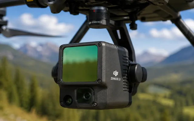
DJI Zenmuse L3
High-Performance Aerial LiDAR Mapping
The DJI Zenmuse L3 integrates LiDAR and imaging capabilities for efficient collection of detailed three-dimensional spatial data from compatible RPAS platforms.
Applications:
LiDAR mapping • Terrain modelling • Vegetation structure • 3D point clouds • Large-area surveys
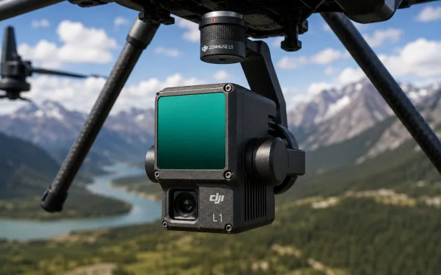
DJI Zenmuse L1
Integrated LiDAR & RGB Mapping
The DJI Zenmuse L1 combines LiDAR with RGB imaging and positioning technologies to support detailed aerial mapping and 3D data collection.
Applications:
Point-cloud generation • Terrain mapping • Forestry & vegetation • Infrastructure mapping • 3D reconstruction
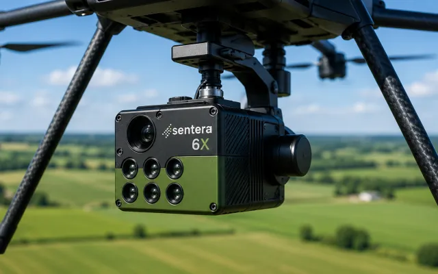
Sentera 6X Multispectral + RGB Sensor
High-Resolution Multispectral Imaging
The Sentera 6X combines multispectral and high-resolution RGB imaging to support detailed analysis of vegetation and surface conditions.
Applications:
Vegetation monitoring • Crop analysis • Multispectral mapping • Vegetation indices • Environmental research
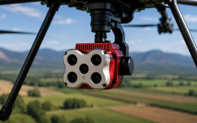
MicaSense RedEdge-MX
Multispectral Remote Sensing
The MicaSense RedEdge-MX captures imagery across multiple spectral bands, enabling quantitative analysis of vegetation and other surface characteristics.
Applications:
Vegetation indices • Plant health assessment • Environmental monitoring • Land-cover analysis • Research applications
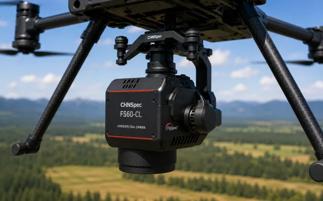
CHNSpec FS60-CL Hyperspectral Camera
Detailed Hyperspectral Imaging
The FS60-CL captures information across numerous narrow spectral bands, supporting detailed spectral characterization and discrimination of materials and environmental targets.
Applications:
Hyperspectral mapping • Material identification • Vegetation characterization • Spectral classification • Research
For this one, before putting detailed wavelength range/band-count specs online, I’d verify the exact configuration of i4Geo’s unit.
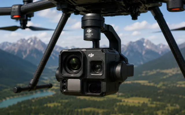
DJI Zenmuse H30T
Multi-Sensor Thermal & Visual Imaging
The Zenmuse H30T combines thermal and high-resolution visual imaging capabilities for detailed observation, inspection, and environmental monitoring from compatible DJI RPAS platforms.
Applications:
Thermal mapping • Environmental monitoring • Infrastructure inspection • Search & observation • Detailed visual imaging
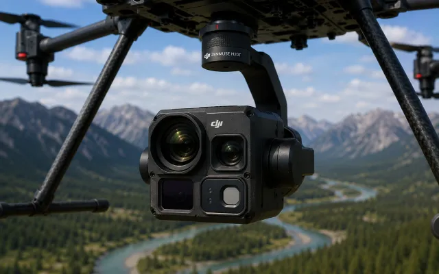
DJI Zenmuse H20T
Integrated Thermal & Visual Sensing
The Zenmuse H20T provides thermal and visual imaging capabilities within an integrated RPAS payload for mapping, monitoring, inspection, and research applications.
Applications:
Thermal imaging • Infrastructure assessment • Environmental surveys • Monitoring • High-resolution observation
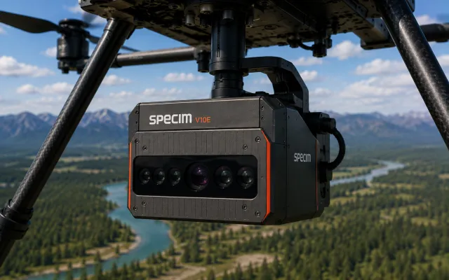
SPECIM V10E Hyperspectral Imaging System
Hyperspectral Imaging & Spectral Analysis
The SPECIM V10E hyperspectral imaging system captures spatial and spectral information simultaneously, enabling detailed investigation of spectral differences across objects and surfaces.
Applications:
Hyperspectral imaging • Spectral characterization • Material discrimination • Research imaging • Image classification
Combining Multiple Types of Remote Sensing Data
No single sensor captures every characteristic of an environment. By combining complementary sensing technologies, i4Geo can investigate both the physical structure and spectral properties of landscapes and other targets.
Our team can integrate LiDAR, RGB, multispectral, hyperspectral, and thermal observations with GNSS, field measurements, GIS, and other geospatial datasets.