
Surveying, GNSS & 3D Mapping
From Precise Positioning to Detailed 3D Spatial Data
i4Geo’s surveying and 3D mapping capabilities support accurate positioning, field data collection, spatial measurement, and the creation of detailed 3D representations of terrain, infrastructure, and physical environments.
Our team can combine GNSS, total station surveying, terrestrial 3D scanning, and geospatial workflows to support research, field campaigns, mapping, validation, and collaborative projects.
Discuss a Surveying or 3D Mapping Project
Surveying & 3D Mapping Capabilities
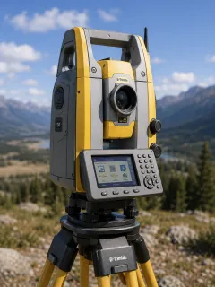
Our Surveying & 3D Mapping Equipment
Trimble S6 Total Station
Precision Optical Surveying
Topographic surveying • Control networks • Infrastructure mapping • Elevation surveys • Ground validation
The Trimble S6 Total Station supports accurate measurement of horizontal and vertical angles, distances, and survey positions for detailed field mapping and control.
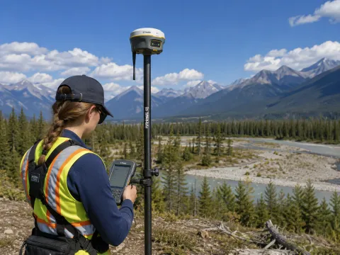
GNSS Survey System
High-Accuracy Satellite Positioning
RTK surveys • Ground control points • Check points • Feature mapping • Field data georeferencing
i4Geo’s GNSS surveying capabilities support accurate field positioning and georeferencing for spatial data collection, survey control, and validation.
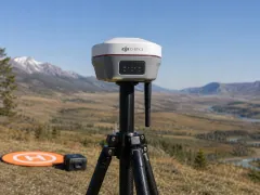
DJI D-RTK 3 Base Station
High-Precision GNSS Reference Station
RPAS positioning • RTK workflows • Ground control • Survey reference • Field mapping
The DJI D-RTK 3 supports high-precision positioning for compatible RPAS and surveying workflows, helping improve positional accuracy during field data collection.
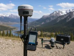
DJI D-RTK 2 High-Precision GNSS Mobile Station
RTK Positioning for Field and RPAS Workflows
RTK mapping • RPAS surveys • Field positioning • Survey reference • Ground control
The D-RTK 2 provides high-precision GNSS corrections for compatible DJI platforms and can support accurate spatial positioning during mapping and survey activities.
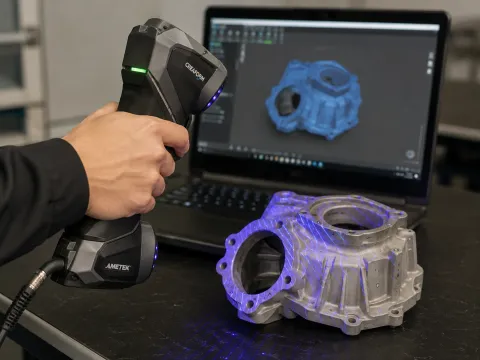
Portable 3D Capture
Object scanning • Surface capture • Digital reconstruction • Research documentation • 3D model creation
The handheld 3D scanner supports rapid digital capture of physical objects and surfaces for 3D visualization, measurement, documentation, and model development.