Core Team
The i4Geo Core Team provides strategic leadership, research coordination, and technical expertise in geospatial science and applied remote sensing. The team supports interdisciplinary collaboration, data integration, and capacity building across research, education, and external partnerships.
Prof. Craig Coburn - Director
Craig Coburn is Full Professor in the Department of Geography and Environment. As a remote sensing scientist with over 20 years of remote sensing experience, Dr. Coburn focuses his research efforts on the fundamental aspects of remote sensing science, with specific interests in low-cost remote sensing physics and remote sensing instrument development. Recently, this research has involved studying the nature of surface bidirectional spectral reflectance properties. This research has led to the development of various instruments for the sampling of surface BRDF primarily for use in understanding agricultural crops and other biological systems as well as efforts in the calibration and validation of remote sensing instruments on a global scale.
Farnoosh Aslami - Institute Manager
Farnoosh serves as Institute Manager at i4Geo and works as a Research Associate in applied remote sensing and geospatial analysis. Her work includes supporting institute operations, coordinating projects and partnerships, and organizing training initiatives that advance applied geospatial technologies.
She contributes to research and outreach activities that connect academic expertise with government, industry, and community partners.
Saeid Parsian - Institute Technician
Saeid is a Remote Sensing and GIS Specialist with over a decade of experience in industrial and academic projects involving remote sensing, GIS, and geomatics. His work and research interests focus on utilizing Earth observation and geospatial technologies to map and monitor natural resources, and analyze environmental dynamics - particularly regarding climate change impacts and natural hazards.
He has a strong background in integrating advanced GIS methodologies with remote sensing knowledge. He also has extensive expertise in artificial intelligence modeling and geospatial data analytics, working with satellite, aerial, and drone-based data. His experience spans a wide range of applications, including the mapping and monitoring of vegetation and forest fire fuels, marine habitats, and river ice, using coarse- to high-resolution Earth observation data.
Prof. Derek Peddle – i4Geo Co-Founder
Derek R. Peddle is a Professor in the Department of Geography and Environment at the University of Lethbridge and a Founding Member of i4Geo, following his role as Director of the Alberta Terrestrial Imaging Centre (ATIC). He has over 30 years of experience in remote sensing, Earth Observation, GIS applications, software development, and research innovation across educational, government, and industry sectors in Canada and internationally. His research focuses on environmental change and terrestrial ecosystem dynamics involving forestry, agriculture, water, mountains, northern terrain, oceans, and integrated resource management, with field experience spanning from the high Arctic to the tropical south Pacific.
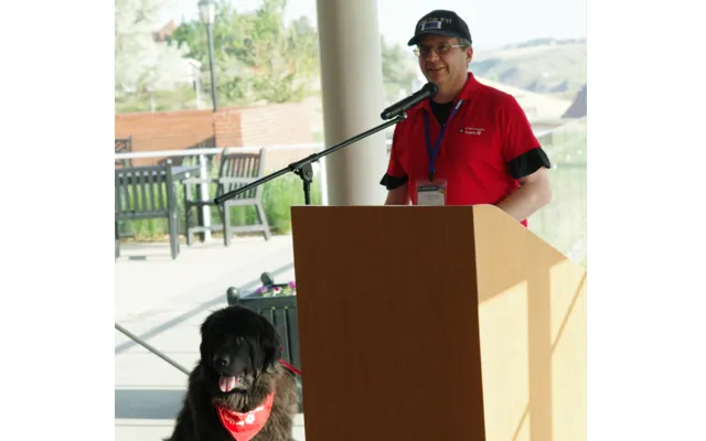
He has received major awards including two International Fulbright Fellowships, a NASA Visiting Scientist Award, a CRSS-SCT National Medal, and was elected Fellow of the Royal Canadian Geographical Society. He is a Past-President of the Canadian Remote Sensing Society, a long-serving Associate Editor of the Canadian Journal of Remote Sensing, was General Conference Chair of the 30th Canadian Symposium on Remote Sensing [CSRS – 2009] and on the 46th CSRS Organising Committee in 2025, both held in Lethbridge. He also volunteers at the University Student Union, and with Friendly the Newfoundland Dog as a St. John Ambulance Therapy Dog Team. He enjoys playing ice hockey, basketball, hiking, mountain biking, and chocolate.