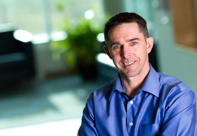
A University of Lethbridge professor named one of Canada’s greatest explorers has traded his high-flying days for the chance to mentor the next generation of discoverers.
When Canadian Geographic magazine published its list of Canada’s greatest explorers 2015, Dr. Chris Hopkinson, a U of L geography professor, found his name in the ‘H’ section, right along with astronaut Chris Hadfield.
“I was surprised and humbled. I thought ‘you’ve got to be kidding me; I can’t be listed next to this guy. He legitimately is in that category,’” he says.
Hopkinson was a student at England’s University of Manchester when he heard about an opportunity to investigate glacial water resources in the Alberta Rockies. He’d been clambering around the Swiss Alps for four summers doing glaciological work as an undergraduate student and was ready for another adventure. He signed up for graduate studies at Wilfrid Laurier University and arrived in Alberta in 1995.
“When I first came here we didn’t have lasers and had to work with aerial photogrammetry,” he says.
Hopkinson has been involved in the remote sensing field during a time of rapid development as LiDAR (light detection and ranging) sensors became more widely available. He went from lugging survey equipment over the Wapta Icefields to flying over them in a LiDAR-equipped plane. LiDAR, which emits laser light pulses, is used to quickly collect highly accurate elevation data that creates a three-dimensional map of the Earth’s surface.
His work, both as a grad student and following his doctoral degree, allowed him the opportunity to use state-of-the-art remote sensing equipment and fly over a big swath of Canada, South America and Australia. In addition, he and several colleagues started a consortium that brokered LiDAR data services to research partners around the world.
“We helped grow the LiDAR research community in Canada,” he says.
After spending a year as an environmental research scientist at the Commonwealth Scientific and Industrial Research Organisation in Australia, Hopkinson joined the U of L in 2013. He and his students are now conducting research in several areas and, in addition, Hopkinson has an ambitious goal on his mind.
“What we’re hoping to do is somehow cobble together a couple of million dollars to buy a system and build some capacity here at the University where we could be the centre of excellence for this activity in Canada,” he says. “We want to develop algorithms, software and applications but it’s hard to do that if the only way to get the data is to buy it on a commercial basis. And you can’t really train students if you don’t have access to the technology.”
His students’ research interests are broad. One project involves developing hardware for in-situ sensors to measure hydrometeorological variables such as snow depth and water levels. The three students collaborating on the project, Zhouxin Xi, Reed Parsons and Sean Herridge-Berry, eventually hope to commercialize their work.
Josh Montgomery, David McCaffrey and Husam Ali are working on a project to develop a water-monitoring portal in conjunction with the Canada Centre for Remote Sensing and the Alberta government.
Another student is studying periglacial environments — the landscape surrounding glaciers — using thermal and laser imaging to gauge rates of change.
“What we’re seeing is that there is quite a significant storage of water as buried ice in these periglacial environments so we’re trying to get a better handle on how much this is contributing to the water resource and if it’s becoming more important through time,” he says.

A further project involves installing a telemetered weather station array on the ski hill at Castle Mountain. Castle Mountain Resort and Tough Country Communications are providing in-kind support for the research. The weather stations provide data on precipitation, snow depth, wind speed, wind direction and more. The data will support other studies, such as McCaffrey’s investigation of whether tree lines are advancing in the area or Mark Derksen’s internship project to optimize LiDAR-based snow mapping in mountainous headwaters.
Dr. Craig Mahoney, a post-doctoral fellow, is also working with the Canadian Forest Service on a forest-mapping project in the Northwest Territories. Using airborne and satellite LiDAR, he’ll be mapping forest heights, biomass and forest canopy closure.
For another project, Hopkinson, Montgomery and Dr. Laura Chasmer (Alberta Innovates Technology Futures intern, post-doctoral fellow and Hopkinson’s wife) are working on a wetland classification project in Alberta. The data will give the province an inventory of its wetland areas, including marshes, fens, bogs, ponds, lakes and swamps.
“These students and research fellows are doing cutting-edge work in remote sensing and it would be great if we could keep them here in Alberta by offering long-term employment through a centre of excellence,” says Hopkinson.