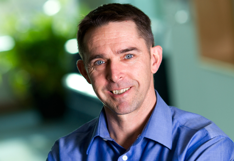
Dr. Chris Hopkinson, the University of Lethbridge geography professor named one of the country’s 100 greatest explorers in 2015 by Canadian Geographic magazine, will once again take to the skies to conduct surveys that will provide rich data about climate change, forest resources, wetlands, flood risk, permafrost loss and water resources.
Hopkinson and Dr. Laura Chasmer, Hopkinson’s wife and a fellow U of L geography professor, will conduct surveys from a plane equipped with a state-of-the-art laser mapping system.

“While the mission has many partners and several individual objectives associated with each site, my overarching goal is to assist with documenting and understanding landscape changes at a very high resolution over multiple Canadian ecozones, as well as the processes driving those changes,” says Hopkinson. “We’ve been doing these kind of trans-Canadian airborne survey missions since 2000 but this year is special because the technology we are using is paradigm-shifting in the way it collects data.”
Beginning in Ontario at the end of July, the duo will begin their trek westward. They’ll repeat previous surveys in northern Ontario and Manitoba, in northern and central Saskatchewan before heading to the Peace-Athabasca delta in Alberta. They’ll then do surveys in the Northwest Territories, near Yellowknife, Fort Smith, Norman Wells and Fort Simpson. The group will return to Alberta with surveys near Fort McMurray, Slave Lake, the Calgary area, the Castle Mountain watershed, Lethbridge and the Oldman River, and finally the Cypress Hills.
The LiDAR (light detection and ranging) system, on loan from Teledyne Optech, emits laser light pulses which are used to create three-dimensional topographical maps. The multi-spectral LiDAR data can be used by various levels of government to inform their plans and policies for carbon accounting, wildlife habitat management, greenhouse gas strategies and timber productivity, for example. The information gleaned from the airborne surveys can also help regions assess flood hazards.
While LiDAR systems have been around for a couple of decades, new multi-spectral sensors provide even more data that can be used in mapping and engineering and to extract forest attributes such as biomass, leaf-foliage area and stem counts. The new equipment can also survey through water to map river and lake beds. The equipment is capable of mapping the Earth’s surface in three dimensions at resolutions of 10 to 20 centimetres.
“With the new technology, which is only recently on the market, we can do all the cool 3D things we used to do with traditional LiDAR but now we collect more surface property information and this allows us to do new things like tree species mapping, which was always kind of hard to do in the past,” says Hopkinson. “This system allows us to see the world in a whole new way.”
Throughout the two weeks of the mission, the daily flight schedule will depend on weather and the presence of forest fires. Media interested in interviewing Hopkinson are invited to follow his progress via his blog and arrange an interview by email or by calling 902-840-1164 a day or two in advance.
BACKGROUND
Hopkinson is collaborating with several researchers on various segments of the mission, including Dr. Ron Hall with the Canadian Forest Service, Dr. Brian Brisco at the Canada Centre for Remote Sensing, Dr. Daniel Peters with Environment and Climate Change Canada, Dr. Shane Patterson with the Government of Alberta, Dr. Dave Sauchyn at the University of Regina, Dr. Richard Petrone at the University of Waterloo, Dr. Kevin Devito at the University of Alberta, and Drs. Stew Rood and Stefan Kienzle at the U of L.
In addition to Teledyne Optech, partners supporting the research mission are Airborne Imaging, Kalus Air Services, Natural Resources Canada, Alberta Innovates, Ducks Unlimited, Silvacom, the City of Calgary, Castle Mountain Resort and Tough Country Communications.
Funding support is provided by the Government of Alberta, Natural Resources Canada, Government of the Northwest Territories, a Natural Sciences and Engineering Research (NSERC) Council Discovery grant and a Canada Foundation for Innovation grant.
