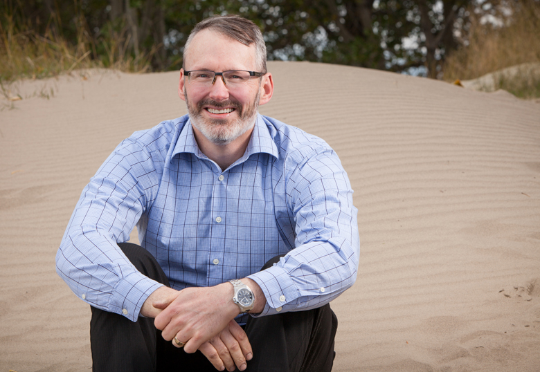
As a function of his job as a professor in the Department of Geography, Dr. Craig Coburn is in the business of telling people what he knows – about calibration, remote sensing, measuring light reflectivity and so forth. What drives Coburn however is what he doesn’t know – ironically finding comfort in his discomfort.
“I pursue the things I don’t know, I’m perpetually in a quixotic adventure. I’m really comfortable if I have no clue as to what the answer is,” says Coburn. “It’s a frightful place and a lot of my students will find that it is the scary part of science, taking a step into the unknown. For me, that’s where professors live.”

Coburn presented Understanding the Complexities of Imaging the Earth: The Challenge of Image Calibration as the third installment of the PUBlic Professor lecture series on Thursday night at Lethbridge City Hall. He removed some of the mystery around the science of remote sensing and spoke to the incredible detail required to produce quality imaging and data.
“One of the fundamental difficulties we have in remote sensing is that of calibration,” he told the audience, describing how satellites often need to be recalibrated once they enter space or after they have been deployed for a certain amount of time.
“We found over time that things drift, things change, components can get dirty, so we started a process of doing post launch calibration efforts that were based on observation of earth targets,” he says.
These targets, of which there are nine, are spread across the globe and established as areas on the Earth’s surface that do not change, as they are needed as a base measure for instruments. They are also shared internationally.
“It’s one of those rare happenings in humanity where everybody agrees. In the space sector, everyone works together,” he says. “What they try to do is share this part, the calibration piece. Everybody plays nice, because we need their measurements as much as they need ours, as it allows you to then cross-calibrate your measurements.”
Remote sensing and the data acquired through the science have changed markedly over the years. As Coburn says, it’s not just about just making maps.
“What we do now is focus on making maps about biophysical parameters, more complicated elements of the earth’s surface,” he says. “We can do the map part but it’s about getting more in-depth data about the Earth, and in order to do that, you need a physical unit, not just a pixel value, an energy value. That’s a new challenge, and to get that, you need an absolute correction target.”
Coburn is able to get those targets and he’s well known as the go-to guy with the “fastest, baddest goniometer on Earth”. He describes being summoned by NASA to a remote desert area near the Mexican border (where scenes for the film Return of the Jedi were shot) to do the goniometric work (a goniometer is a device that measures angles) that would establish the tract as a measurable target.
“We needed to get a series of measurements that allowed us to characterize that target per angle,” he says. “A satellite always flies over at the same time locally, but the angle of the earth changes with respect to the target as the year progresses. For two days we measured from sun-up to sundown and gave them the most complete data they’d ever had for that target. It’s fundamental work and it’s difficult work but it’s needed.”
What enthuses Coburn though is not so much the actual data acquisition, but rather how they do what they do. It’s inspired him to create a number of customized instruments in his garage, starting with nothing more than an idea and a sketch on the back of a piece of plywood.
As a result, he’s almost stumbled into the title of the “BRDF guy” thanks to creating a better method of measuring what a surface’s bidirectional reflectance distribution function (BRDF) is. Essentially, it is trying to calculate the reflective nature of an object.
“The model that we have conceptually for how we understand remote sensing data is too simple, and that’s a fundamental flaw in science,” says Coburn. “We say things have reflectance, a unitless number where black is black. Then I come to you and say, yes, from a certain distance black is black but the closer I get to it, it’s not black anymore, it is black plus complexity. In a computational architecture, if I’m a long way away from something, it’s simple. If I zoom in on something, I’m down to a big pixel, and I can’t tell anything from a pixel except that I have to tell everything from a pixel, from climate change to forests to water to everything, and that’s a big ask. That’s where I’m trying to work now, focus on some of those bigger questions.”
These questions, those he doesn’t yet have answers for, put him right in his comfort zone.

