Approaching the four-year anniversary of the Kenow Wildfire in Waterton Lakes National Park, a new study by University of Lethbridge undergraduate student Sam Gerrand sheds light on how much carbon dioxide was released into the atmosphere from the event and how this data may be utilized going forward.

Gerrand, who’s finishing his fourth year of study in geography, recently had his paper, Partitioning losses from fire combustion in a montane valley, Alberta Canada, published in the Forest Ecology and Management journal. The study focused on quantifying the loss of carbon dioxide from soil and trees in a 300-metre area that was burned in the Kenow Wildfire through the use of LiDAR (Light detection and ranging), and then creating a model that extrapolates the data to give an overall sense of how much carbon was lost into the atmosphere from soil and tree burn throughout the park.
“Trees store carbon when they grow, and many studies have looked at how much carbon is lost after fires because that is all part of the cycle of carbon and a contributor to climate change,” says Gerrand. “As fires burn, they don’t just burn the grasses, shrubs and trees, they also burn into the ground, and there haven’t been many studies focused on the carbon lost from the soil, and especially in montane environments like we have in Waterton.”
Gerrand found that carbon loss from the soil in their test area was significant, amounting to 40 to 45 per cent of that lost from the trees that were burned. He also discovered, when comparing wet riparian sites to dry sites, more carbon was lost from the wet zones.
“The reason we saw that is because the wet zones essentially had more organic soils available to burn, so when they dried out and the fire came through, there was so much more fuel there,” he says.

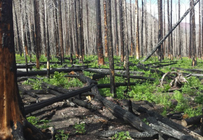
The Kenow Wildfire, which burned through Waterton Lakes National Park in early September 2017, was especially hot and severe. It came on the heels of the park’s third-driest summer on record and burned approximately 35,000 hectares, including 19,303 hectares in the park alone. Over 80 per cent of the park’s hiking trail network was affected which, ironically, was the impetus for Gerrand’s study.
“I grew up in Pincher Creek and spent some time in the park as a kid and always wanted to work on the trail crew with Parks Canada,” says Gerrand, who was hired for the crew shortly after the fire. “We were some of the first people allowed back into those burned areas and every day, walking around in there was amazing — it was a really special summer.”
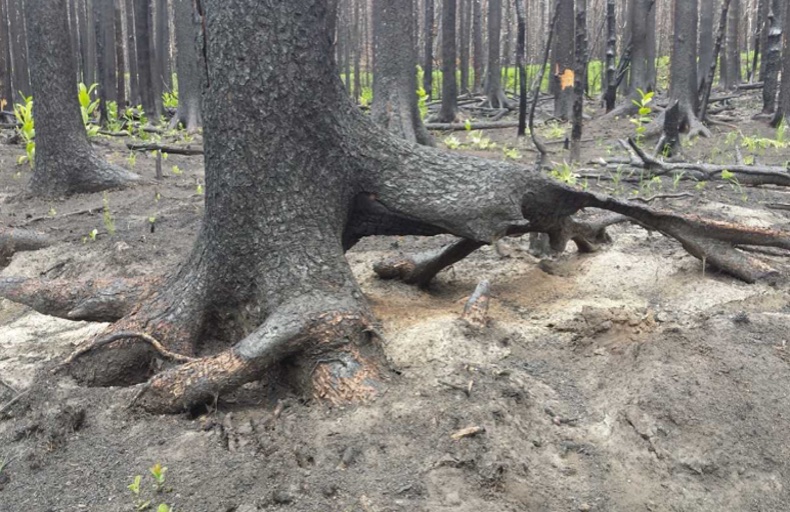
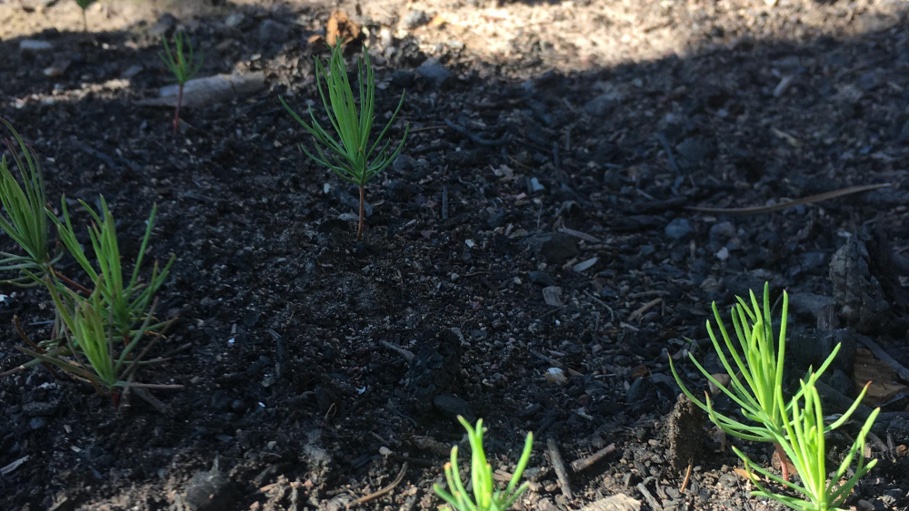
He noticed how quickly plants began to sprout from the scorched soil and took particular notice of areas where the fire burned deep into the ground. Back at school later in the year, he talked with one of his professors, Dr. Laura Chasmer in the Department of Geography and Environment, about her work in boreal forests. He showed her some of his pictures and a project was born.
“Using a combination of field measurements and innovative airborne LiDAR technology, Sam and his master’s colleague, Jesse Aspinall, were able to quantify the amount of biomass that was combusted and likely became airborne, resulting in the kind of smoke we have been seeing from recent wildfires,” says Chasmer. “Sam and Jesse were also able to determine the amount of carbon (in the form of biomass) that remains in the burned trees, which are still standing. These trees will eventually fall over and rot into the ground, releasing nutrients to the soil, but also longer-term carbon dioxide into the atmosphere over the coming decades.”

The data Gerrand generated is revealing. In the two sites he studied, each hectare (an area 100m by 100m), he found the wet riparian site lost carbon equal to the annual emissions of 53 cars, while the dry site lost carbon equal to the emissions of 33 cars. These initial carbon losses from the soil are almost as large (95 per cent) as the long-term losses equated to the standing trees.
It’s data that could be applied by forest managers as they look at areas they know have significant organic growth in their soils and that have not been affected by previous fires. Waterton Lakes National Park, as a managed forest, had no significant fires for more than 100 years, making it vulnerable to a significant event such as Kenow.
Gerrand has yet to decide his future career path but has been inspired by this project.
“You can learn a lot about the environment through remote sensing and GIS technology, and I think it's pretty interesting how you can tie that into the way we build our communities and the way we manage forests,” he says. “If we're disturbing forests, and we're altering the way our world works, how does that affect us? We’re living on the landscape, so we need to understand how altering it affects our quality of life.”
