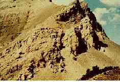
Blakiston was now crossing the the first stage of North Kootenay Pass.
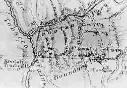
The Palliser Expedition map shows two passes on British Territory- the North and South Kootenay (Boundary) Passes - used by the Kootenay Indians when they left their mountain homes periodically to go to the plains to hunt buffalo.