| I expected Granum airfield would be harder to find. Labelled abandoned on a 1959 topographical map one can still see the outline on Google Earth but what would be seen from below was questionable. I expect the Granum and Woodhouse airstrips were simply emergency landing fields for nearby bases. |  |
 |
||||||||||||||
 |
||||||||||||||||
 |
||||||||||||||||
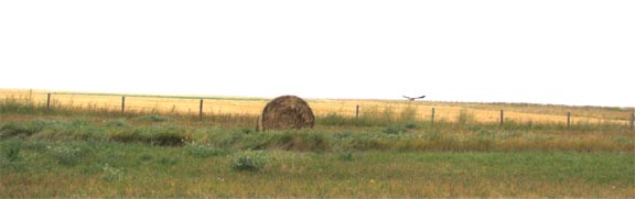
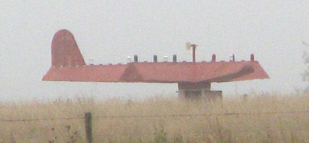
| I guess I was right.
From the road no remnants could be seen. But in the distance — is tnat a statue of a plane? I expect I am hallucinating at this point. Here's a telephoto shot from a slightly different angle. Maybe you the viewer can tell me what it is. |
||||||||||||||||
 |
||||||||||||||||
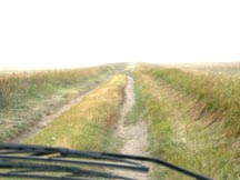
| Continuing on, we had to abandon Google Earth’s prescribed route as we were afraid our little smart car would get high centered. | ||||||||||||||||
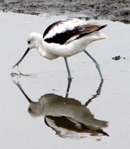
| Then to our delight we encountered a mud hole where we met up with ... |  |
|||||||||||||||
| ... an American Avocet ... | ||||||||||||||||
 |
||||||||||||||||
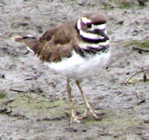
| ... and a Semipalmated Plover. | ||||||||||||||||
 |
||||||||||||||||
|
|
||||||||||||||||
| Tour Sites & Directions
Granum *** |
||||||||||||||||